
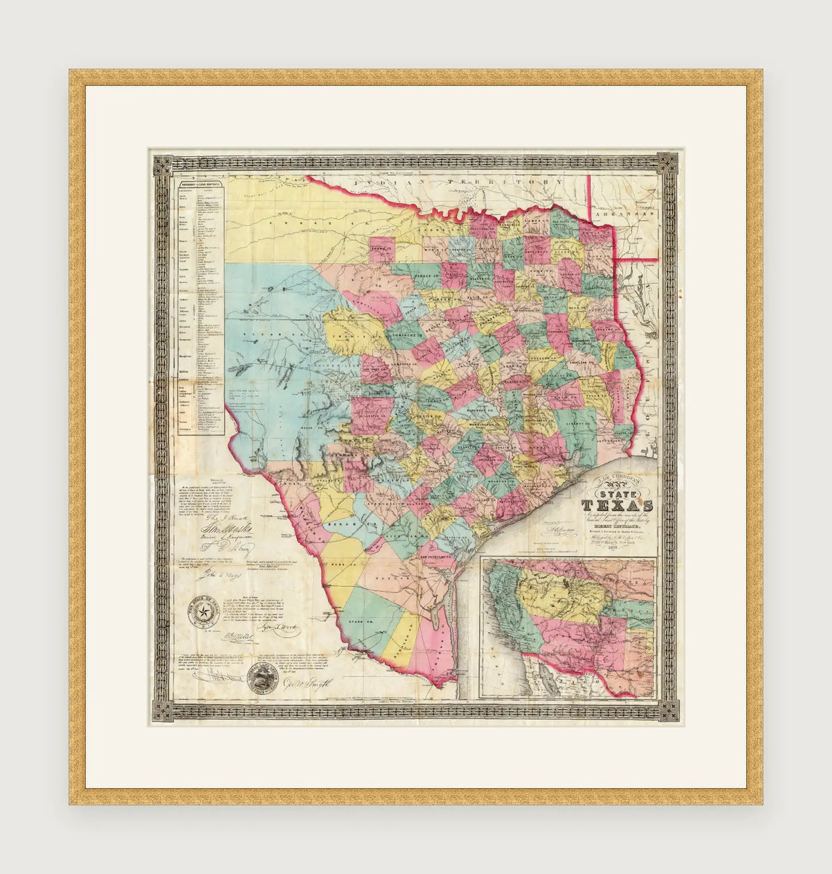
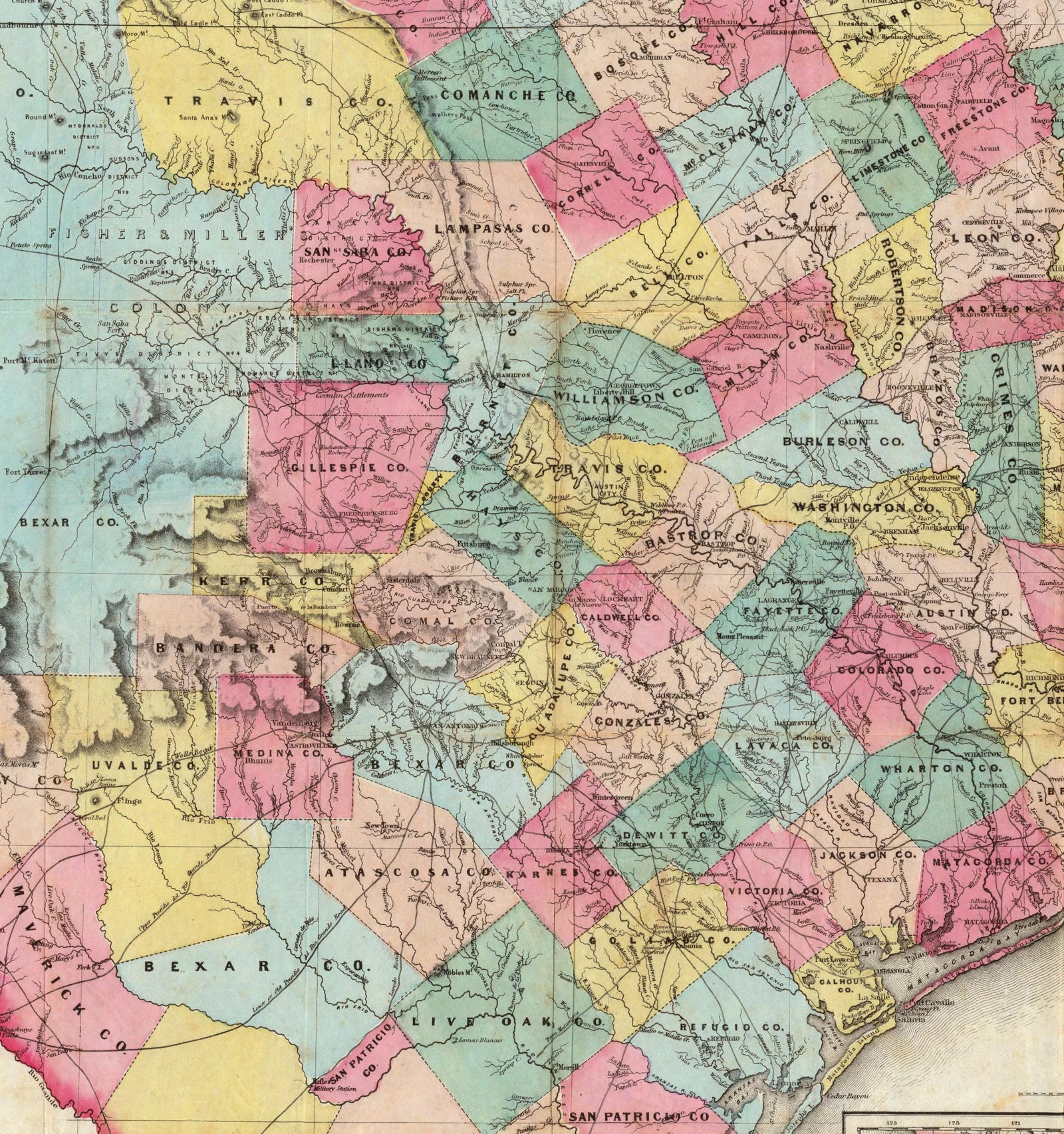
De Cordova's 1856 Map of Texas
A faithful reproduction of J. De Cordova's 1856 Map of the State of Texas — the definitive land map of early-statehood Texas, drawn by Robert Creuzbaur and published by J.H. Colton — printed on archival paper and hand-framed to order.
Made-to-order in our workshop · 27 sizes including A-paper · Ships ready to hang
We've picked our — profile —
17mm x 17mm
Antique Gold Wood (Lustre) / 17mm x 17mm
$57.00 AUD
- Handmade to order in our workshop
- Real solid-wood moulding & archival materials
Slim profiles suit everyday photos. Classic and Gallery profiles add presence around larger prints.
Slim profiles sit flush for clean modern looks. Gallery profiles add depth — and can be float-mounted for a 3D effect.
Slim profiles for minimal mounts. Classic for everyday display. Gallery for a deeper, layered look with optional float-mount.
Gallery profiles give paintings substantial depth — supports float-mount or shadow-box framing.
Slim profiles keep certificates feeling clean and formal.
Choose a profile
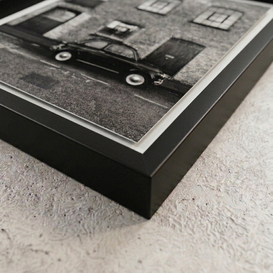
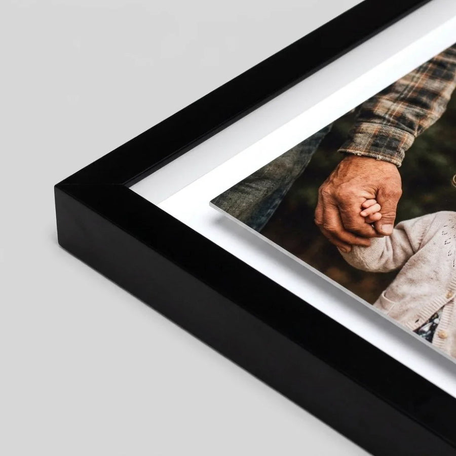
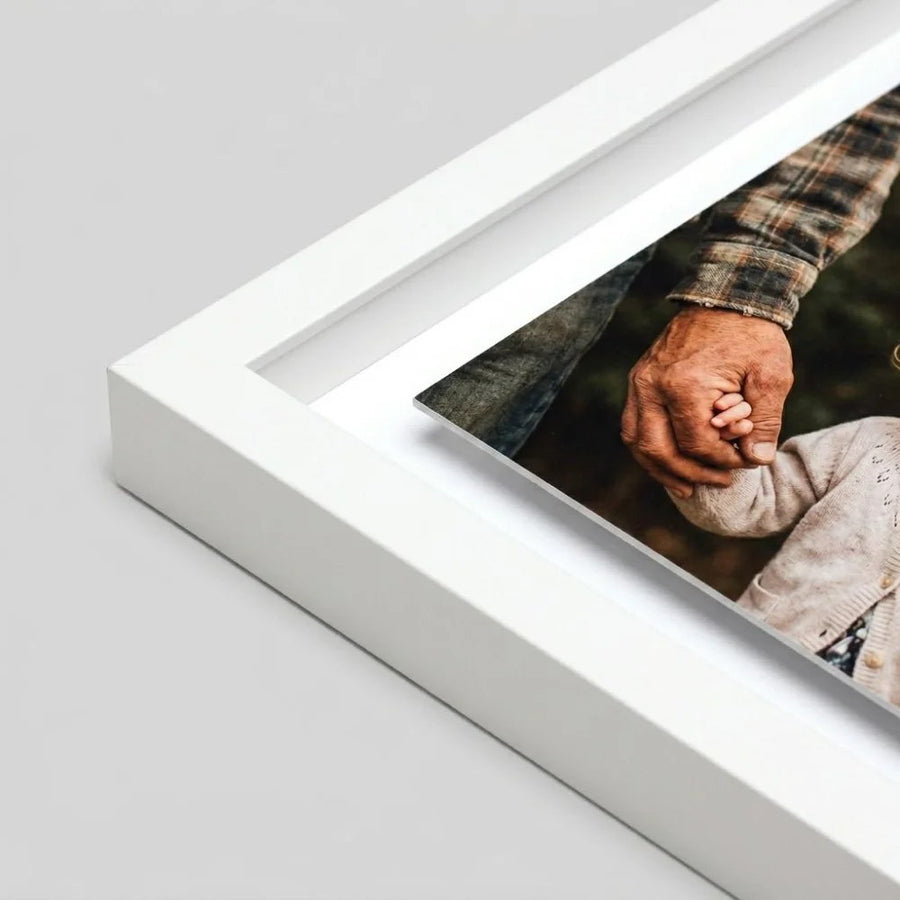

Finishes
Orientation
Pattern
Pattern colour
Size
Framing style
Advanced options Paper edge · Float border
Paper edge
Float border — frame grows by twice this
Conservation glazing
Mount opening
Mount colour
Pattern
Pattern colour
Click to add your photo
JPG, PNG, HEIC or PDF
Delivery & international
Delivery times
| Region | Standard | Express |
|---|
Good to know
- Orders placed by noon Pacific time, Monday to Friday, start that day.
- Express is available on every size and product. Made-to-measure frames, mats, prints and custom framing take one extra working day.
- Express isn't available to Puerto Rico or US military (APO/FPO/DPO) addresses; these ship free by standard delivery.
- Remote areas may take longer or be charged at a higher rate.
About this frame
A slim, square 17mm profile — understated and endlessly versatile, in a warm antique gold finished with a soft luster sheen. It suits classic art, watercolors and pieces you want to feel a little more special. Each frame is cut, mitered and assembled to fit your print — handmade in the UK and shipped ready to hang.
Specification
- Moulding
- Real solid-wood moulding, cut and finished in our workshop.
- Face width
- 17mm
- Depth
- 17mm
- Glazing
- Clear cast acrylic, shatter-resistant
- Backing
- Archival foamboard, sealed edges
- Hanging
- Fittings attached; wire and screws on larger frames
- Print, if added
- Archival paper, pigment inks
Made for you
Made to your size. Every frame is cut, joined and glazed to order, which is why we can't accept returns on made-to-measure frames. Please check your size before ordering.
Arrives perfect, or we remake it. Every frame travels in specialised picture frame packaging. If anything reaches you less than perfect, send us a photo within 48 hours of delivery and we'll remake it free.
Caring for it. Peel any protective film from the glazing, then clean with a soft, dry cloth. Don't use glass cleaner.
Provenance
About this map
- Compiled by
- Jacob De Cordova
- Drawn by
- Robert Creuzbaur
- Publisher
- J.H. Colton & Co., New York
- Date
- 1856
- Subject
- State land map
- Original medium
- Lithograph with wash colour
Source & rights — David Rumsey Map Collection (CC BY-NC). Original compiled by Jacob De Cordova, published by J.H. Colton & Co., 1856 — in the public domain.
Every frame, side by side
The same map in all eight of our frame finishes — pick the one for your wall.
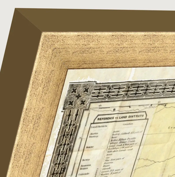
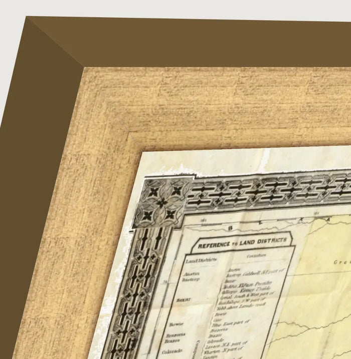
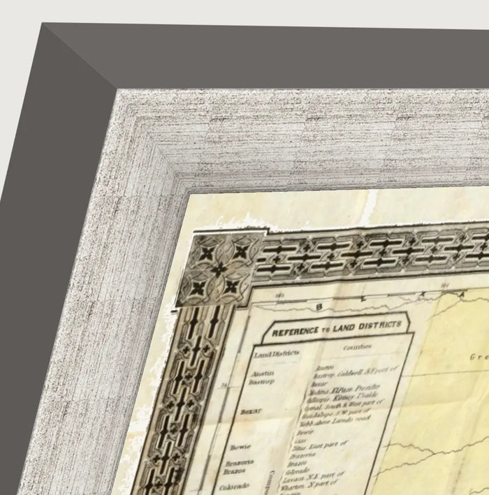
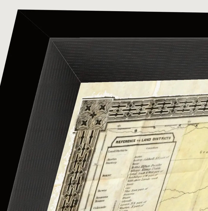
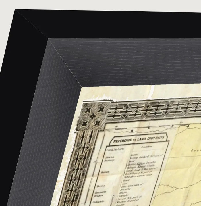
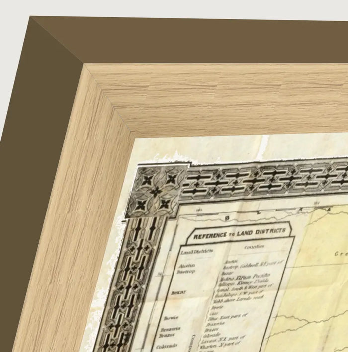
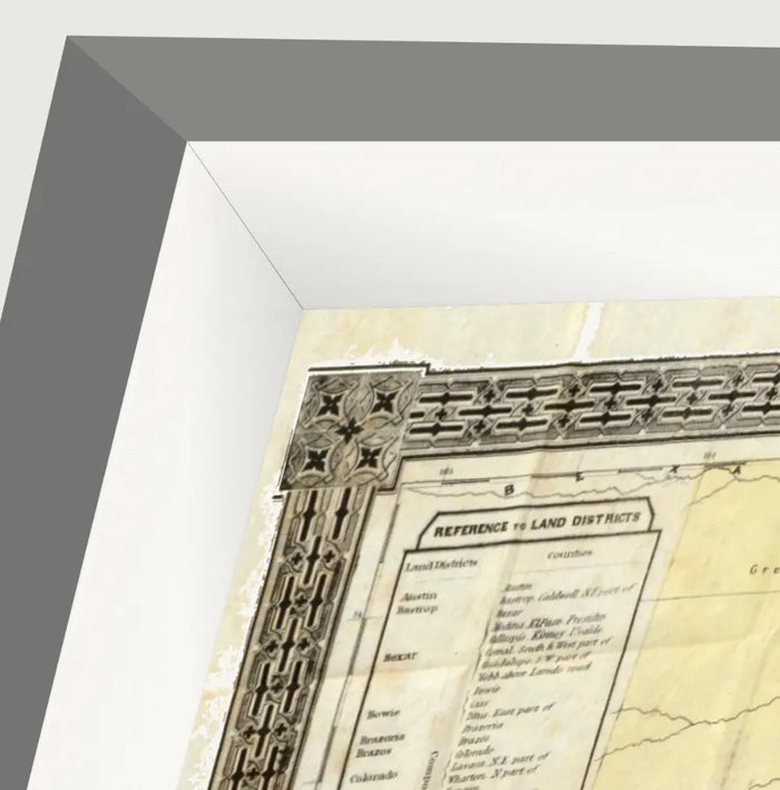
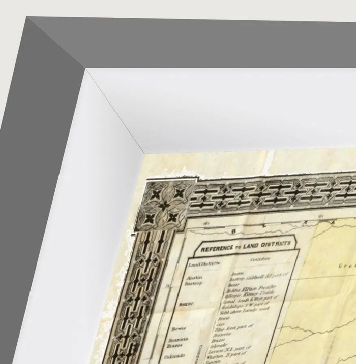
Print detail
A close crop at full resolution — every place name stays crisp.
The story
About this print
A slim, square 17mm profile — understated and endlessly versatile, in a warm antique gold finished with a soft luster sheen. It suits classic art, watercolors and pieces you want to feel a little more special. Each frame is cut, mitered and assembled to fit your print — handmade in the UK and shipped ready to hang.


The craft
What makes it special
Common questions,
honest answers.
Can't find what you're looking for? Contact us via chat or email.
Is this an original antique map?
Where does the image come from?
What paper and inks do you use?
Does it come framed?
MORE VINTAGE MAPS
Other vintage map prints.
-
 1891 County & Railroad Map of TexasA faithful reproduction of Rand McNally's 1891 large-scale county and railroad map of T...
-
 Richardson's 1861 Map of TexasA faithful reproduction of Richardson's New Map of the State of Texas, first published ...

